Overview
This web-based viewer provides the baseline information needed for ocean planning efforts, particularly those that involve finding the best location for renewable energy projects. The viewer is also a helpful tool for the permit review process. View jurisdictional boundaries, restricted areas, applicable laws, critical habitat locations, and other important features within a selected ocean area. Use these data to identify potential conflicts early in the planning process.
Features
- Analyze and explore geospatial data for ocean planning
- Gain direct access to authoritative marine cadastral data
Additional Information
Support
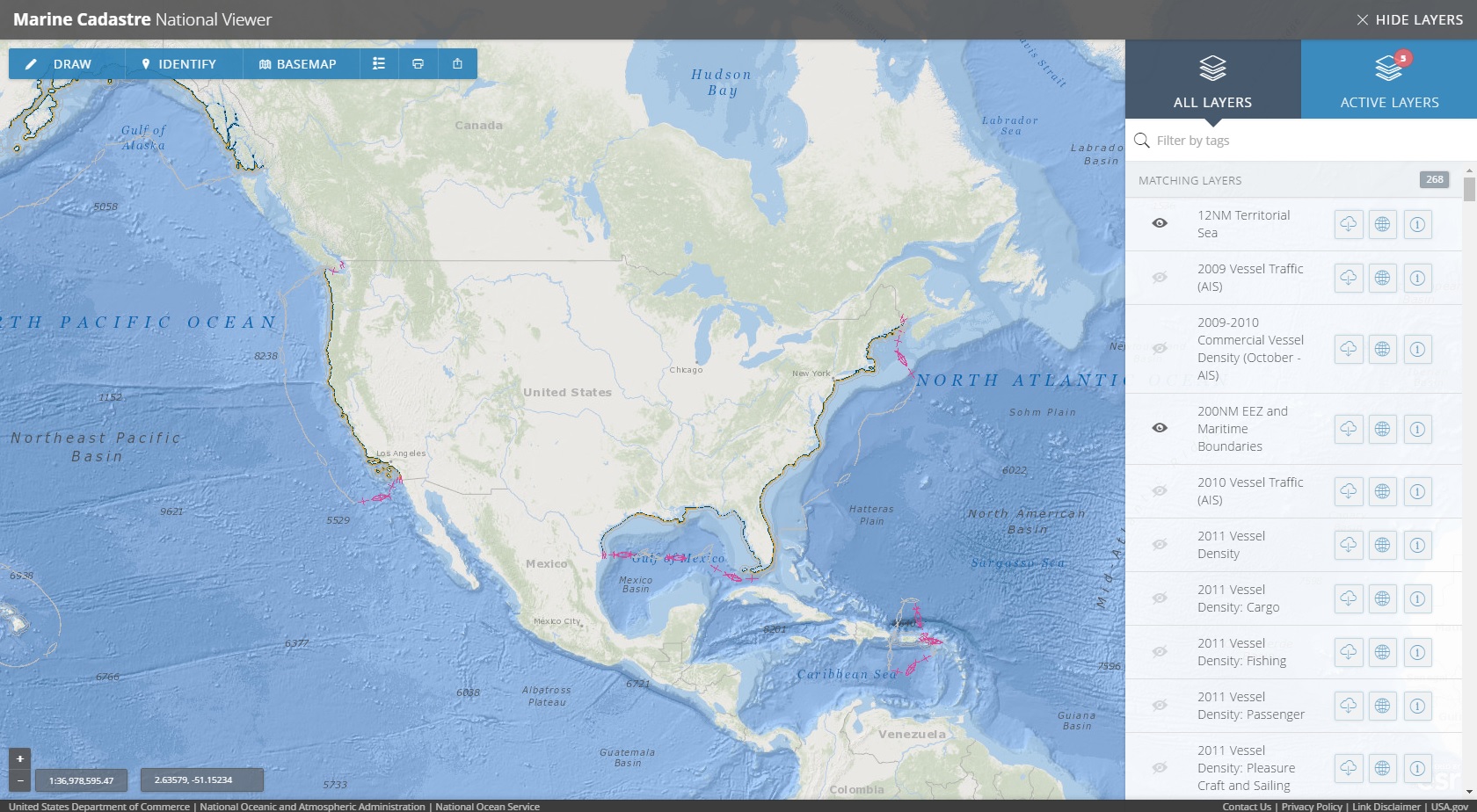
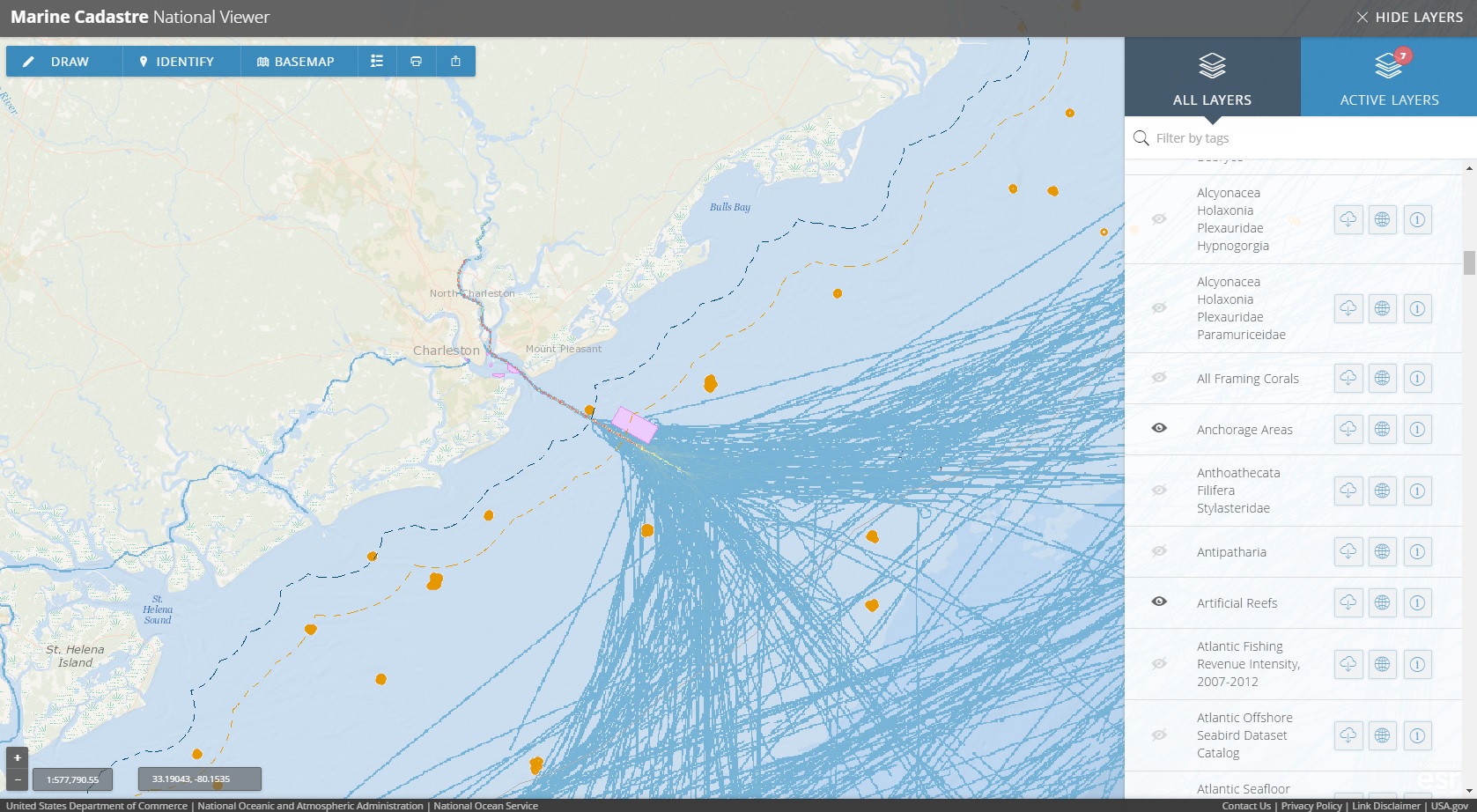
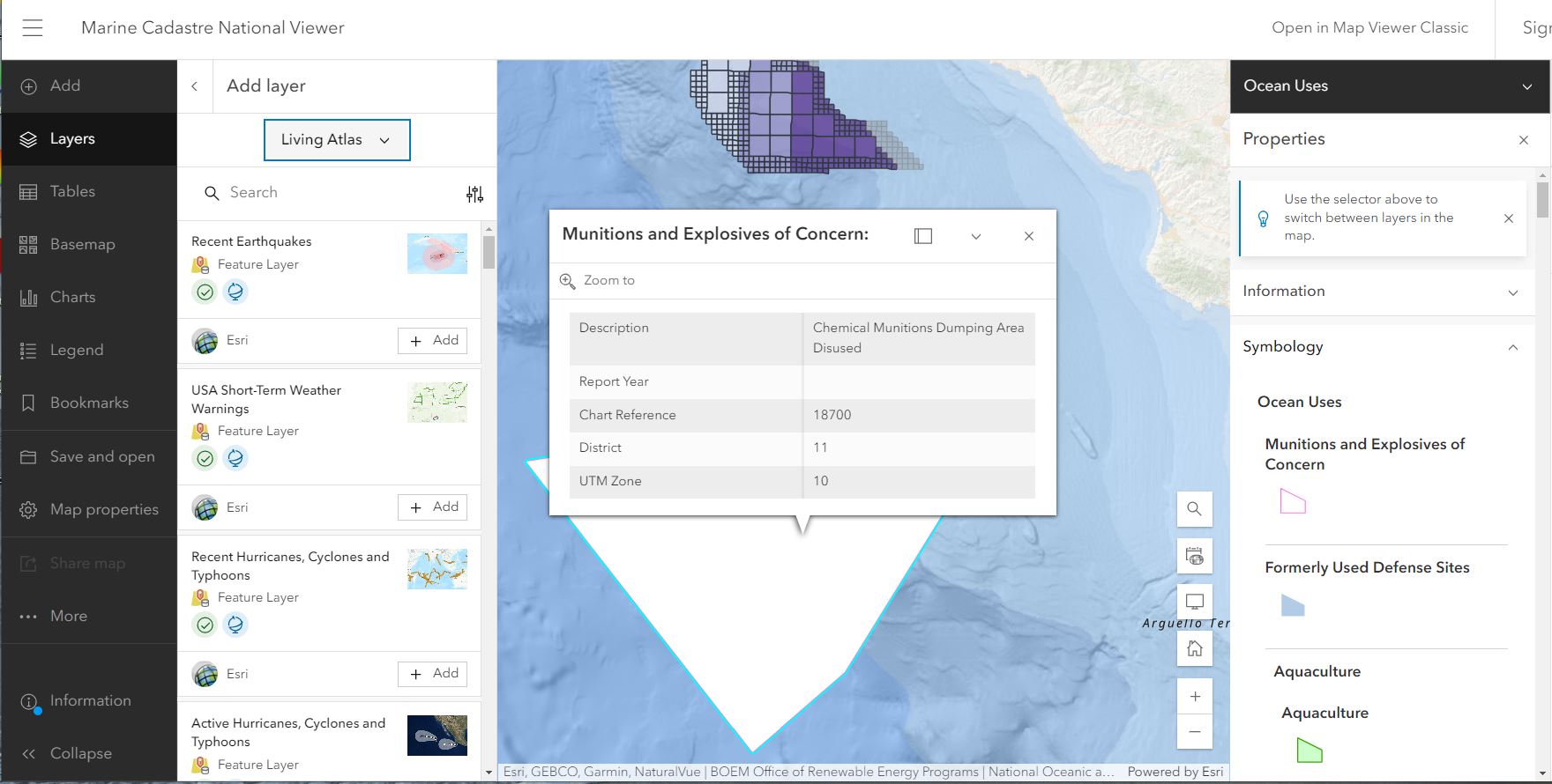
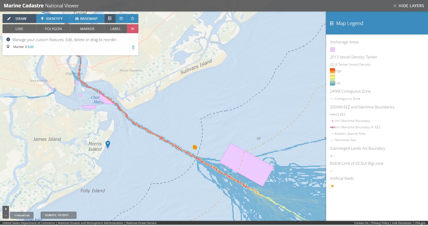
Tool Screenshots