Massachusetts Map Tours Boost Accessibility, Safety, Program Transparency
The Takeaway: These colorful virtual tours, filled with facts, welcome everyone who has felt left out of coastal adventures and cast a bright light on a state coastal zone management program’s importance.
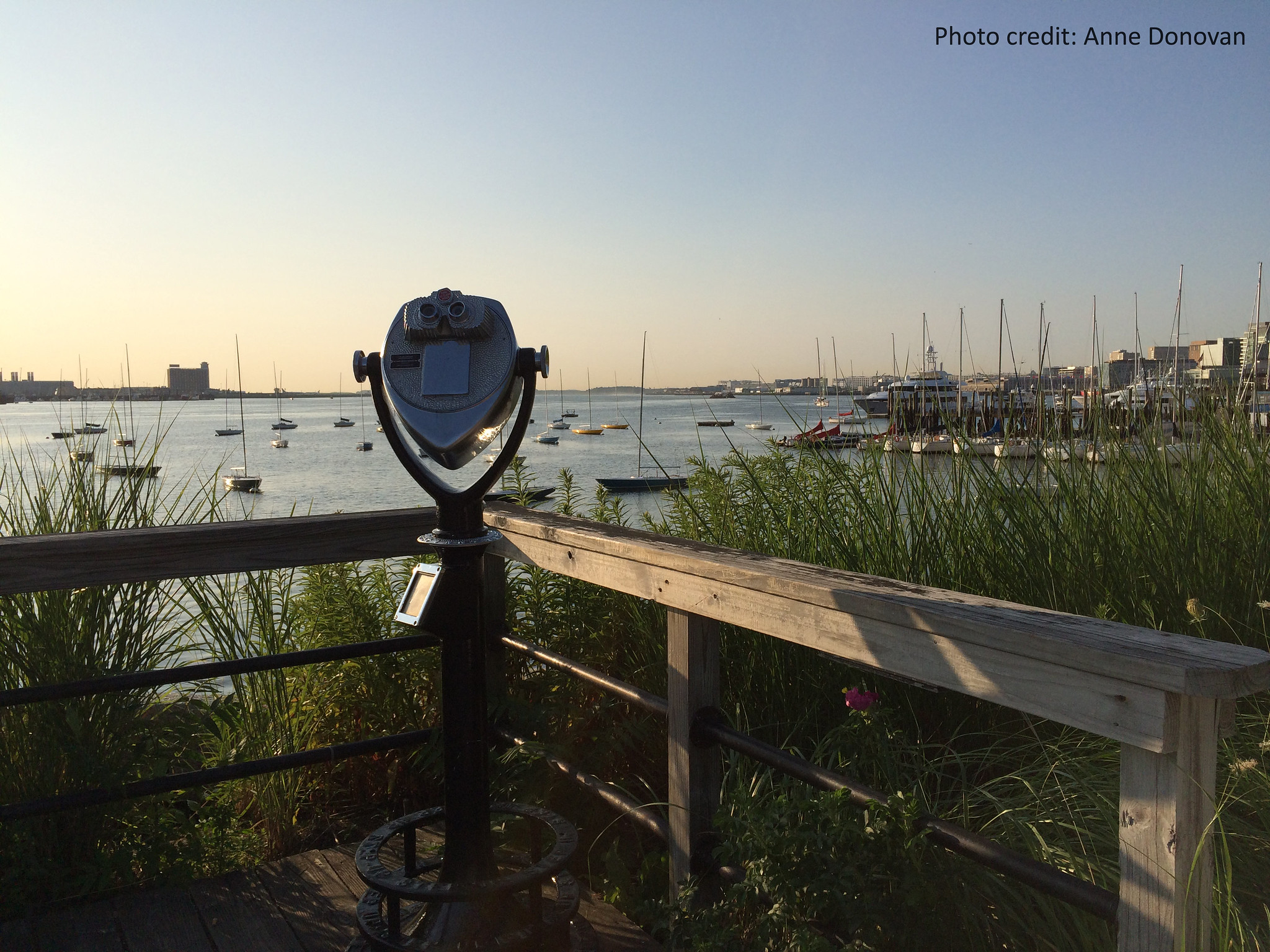
Massachusetts’ 1,500-mile coastline reveals a kaleidoscope of sights that span Boston Harbor to Cape Cod and the North Shore to the South Coast. But not everyone has the cash, or physical wherewithal, to tour the coast in person. The Massachusetts Office of Coastal Zone Management tackles these access barriers with online story map tours that make ecology, history, and culture come alive. In 2021, the tours began as a COVID-era innovation, one that enabled the Massachusetts office to provide vivid, programmatic details for a routine NOAA review of this state program. But it turns out the resulting product is helpful for the public, too.
The five regional tours dive deep into ports and harbors, coastal habitat, state parks, communities, recreational beaches, and more.
A tour sampling
- North Shore – Includes facts on America’s oldest seaport, the City of Gloucester; hiking trails and bird watching at the Ipswich River Wildlife Sanctuary; and Singing Beach, named for quartz sands that vibrate when walked upon.
- Boston Harbor – Reveals how the preservation of native species on pier undersides—made possible by state coastal office support—filters water, and nurtures animal habitat and food. A 43-mile harborwalk, historical forts, and more are covered.
- South Shore – Explores historical architecture, built by early town settlers within a setting of tidal rivers, forests, barrier beaches, and harbors. Unspoiled areas include Duxbury Beach, which hosts 171 plant, animal, and avian species—the state coastal office has supported renourishment and native plantings here.
- Cape Cod and Islands – Describes rich natural resources that appeal to seasonal tourists and year-round residents. The Waquoit Bay National Estuarine Research Reserve is here, with 2,700 acres of open waters, barrier beaches, and marsh, as well as outdoor recreation, coastal research, and environmental education opportunities.
- South Coastal – Outlines New Bedford’s storied history as a whaling industry superpower, and explores the diverse ecosystem of the Taunton River, the longest undammed river in New England. Many salt marsh areas host groundbreaking research on restoration and climate adaptation strategies.
The programmatic reach of the Massachusetts Office of Coastal Zone Management includes public access, coastal habitat and water quality, ocean and flooding management, seafloor and habitat mapping, and more. (2022)
Partners: Massachusetts Office of Coastal Zone Management, NOAA Office for Coastal Management
PRINT