Issue
Many fish—including lake sturgeon, a species on the “threatened” list—seek out rocky areas in fast-flowing currents to deposit their eggs during spawning season. However, in the Detroit and St. Clair Rivers, many of the natural limestone reefs and rocky areas were destroyed during the construction of shipping channels. Similar spawning areas in tributary rivers were made inaccessible by dam construction, or were damaged by development and sedimentation.
Process
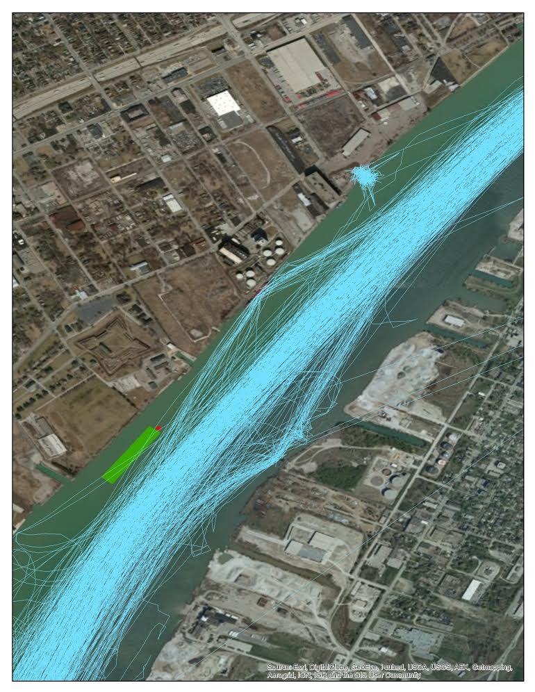
A diverse team of researchers has developed a process that led to new strategies for siting, designing, and constructing spawning habitat. Vessel traffic data, or Automatic Identification System (AIS) data, helped these researchers at Michigan Sea Grant better understand how commercial vessels maneuver within areas being considered for fish spawning reefs. The AIS data provide information on the type of vessel activity and related propeller wash. The goal was to understand how vessel activity affected a small test reef in the Detroit River before adding a four-acre permanent reef.
Impact
The reefs provide accessible, high-quality habitat, including rocky substrate needed to successfully incubate fish eggs. Researchers at the U.S. Geological Survey’s Great Lakes Science Center have monitored the lake sturgeons’ use of this artificial reef and five others in the Detroit River and St. Clair River. Lake sturgeon eggs—which were not detected before reef construction—began appearing on all the reefs immediately after construction. In 2019, researchers continued to detect lake sturgeon spawning on four of the six artificial reefs. Monitoring of these results continues.

