Focus Area
Need Help?
What type of application (i.e., topic area) are you seeking to address? There isn’t a tool that can do everything, so you may not want to choose too many options. Some helpful tools may not be included in your list if the application you choose is not the tool’s main function. Exploring related topics may therefore introduce you to additional tools.
Platform
Need Help?
Do you need something web-based, an app, or are you comfortable with a desktop tool? If the tool is a download, the application may require users to provide and preprocess their own data.
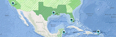
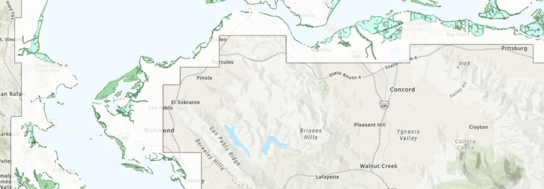
Geography
Need Help?
Where do you want this tool to work? Choosing more than one region will result in a larger number of returns, and will include tools that may not be useful in all of the selected geographies. If a tool must work for a given geography, only that geography should be selected.
Level of Effort
Need Help?
How much time do you have for exploring and using the tool? Tools that require data preparation or have a steeper learning curve are likely to require more time.