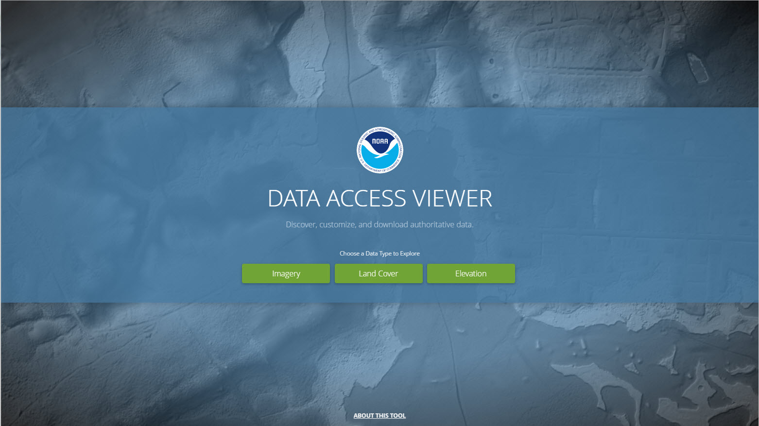
Overview
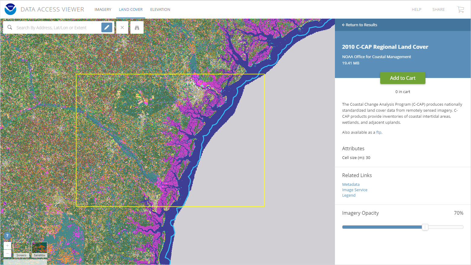
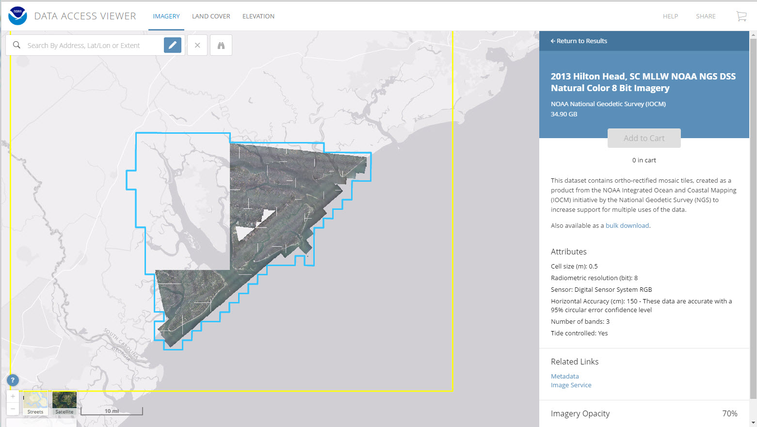
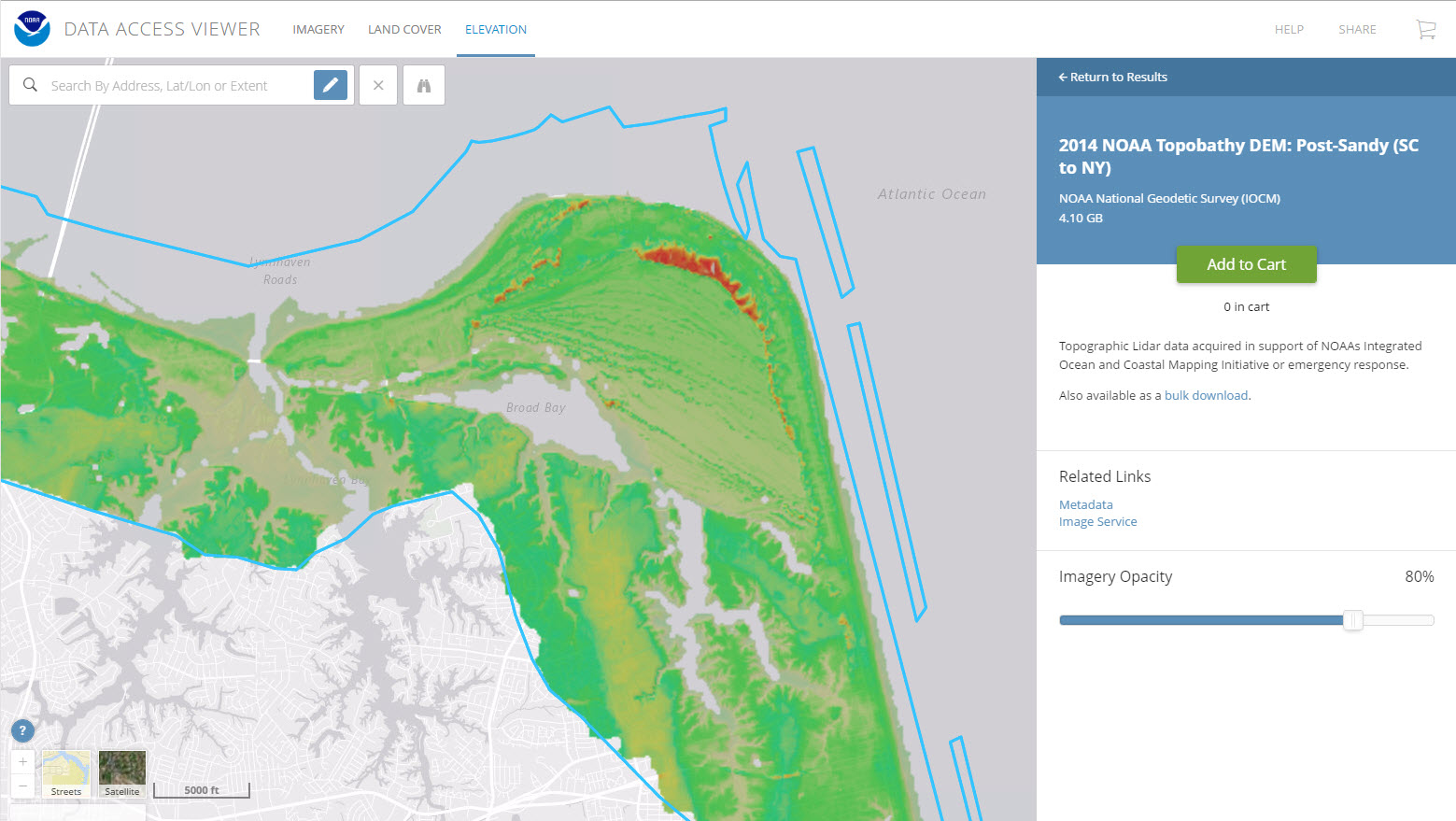
This online tool allows a user to search for and download lidar, imagery, and land cover data by user-defined geography. Once found, the data can be downloaded with an easy-to-use checkout interface. Users can select from multiple file formats, projections, and datums.
Features
- View image services for applicable data
- View technical specifications and metadata for each dataset
- Access data in several projections and datums
Tool Screenshots