Overview
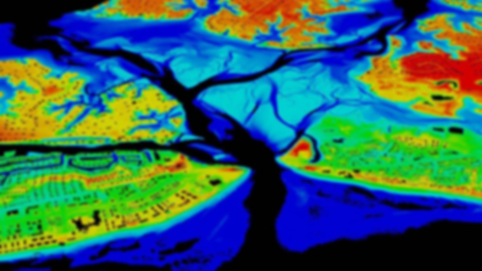
Elevation data are collected using a green laser for bathymetry and a green laser or near-infrared lidar for topography. Depth of maximum retrievals is dependent on water clarity and the instrument used. Data derive from the Joint Airborne Lidar Bathymetry Technical Center of Expertise (JALBTCX) and are coordinated through the Interagency Working Group–Ocean and Coastal Mapping (IWG-OCM).
Data collected up to and including 2013 are primarily along the ocean-facing sandy coastline and the Great Lakes. Data for bays, estuaries, and behind barrier islands are found in collections from 2014 and beyond. Custom processing through the Digital Coast Data Access Viewer is recommended for requests under 1.5 billion points. For larger requests, such as entire data sets, the point cloud is available via https in LAZ format and geographic coordinates.
Featured Resources
- Geozone Blog Post — Bathymetric Lidar
- JALBTCX — U.S. Army Corps of Engineers website for the JALBCTX partnership and data collection.
