Challenge
Located in one of the most earthquake-prone areas of the world, the Commonwealth of the Northern Mariana Islands has over 20 potential tsunami-hazard sources. The islands of Saipan, Tinian, and Rota had tsunami hazard models, but no official evacuation maps. A coordinated mapping effort was needed to help ensure the preparedness and safety of residents and visitors.
Solution
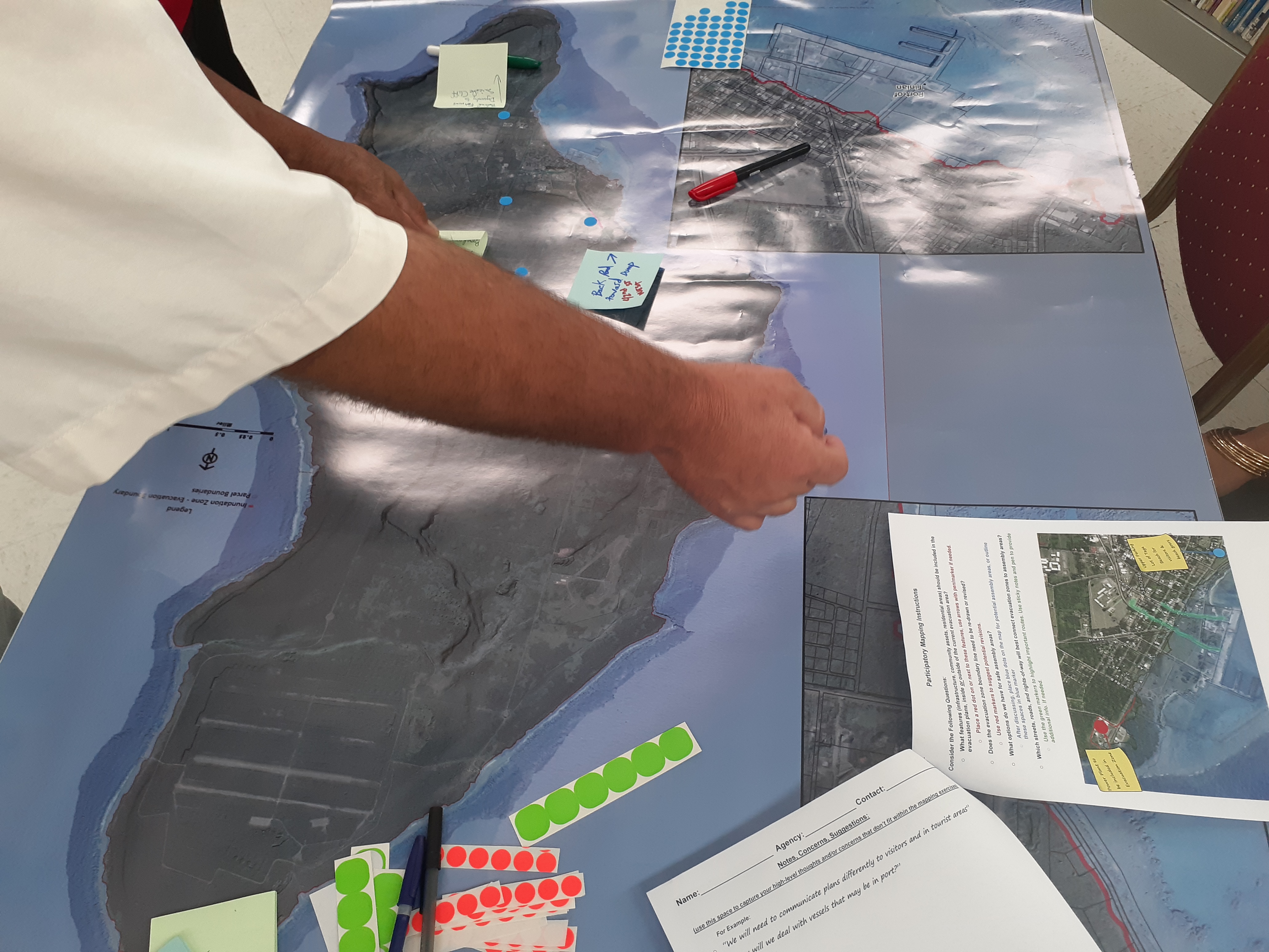
Island officials and partners reviewed newer, highly detailed NOAA lidar data within existing tsunami hazard models that had used maps from 2009. This enabled them to pinpoint more areas at tsunami risk, update official tsunami hazard zones for each island using new digital elevation models, and mark out the most important evacuation areas. This detailed data also helped create new maps and graphics for public workshops, gathering valuable input from local community members and officials.
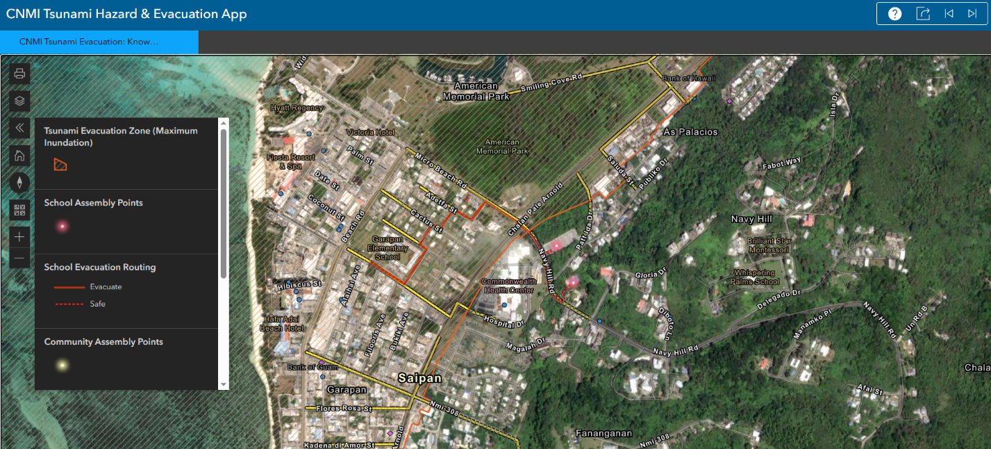
Using this input, officials formally adopted tsunami evacuation maps for the commonwealth. These maps, along with an associated web map, are now used by the commonwealth's Office of Homeland Security and Emergency Management for disaster preparedness and mitigation, and in their participation in the National Tsunami Hazard Mitigation Program.