Overview
This tool helps coastal managers, ecologists, and physical hydrologists estimate wave energy and its effects on ecosystem functions, as well as on developed coastal and inland-water areas.
Features
- Forecasts (and hindcasts) wind-wave energy and movement of seafloor sediment in enclosed water bodies such as estuaries and lakes
- Works with standard data formats and factors such as shoreline erosion, fauna, and landscape patterns
- Produces sample stratification by wave energy regime
- Adjusts to wind events that are chronic, extreme, or combined with storm surge
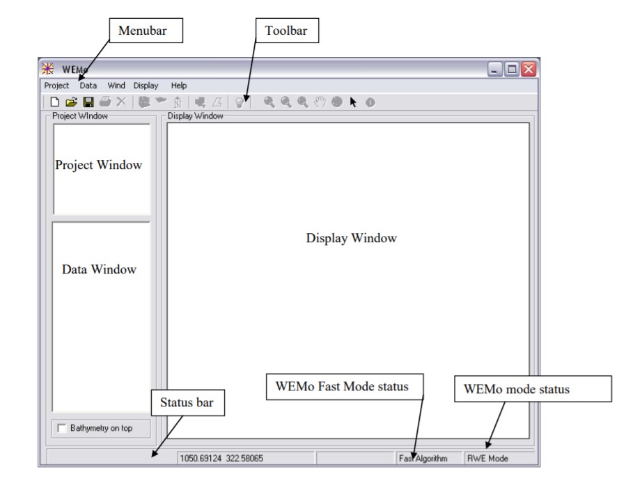
Tool Screenshots