Overview
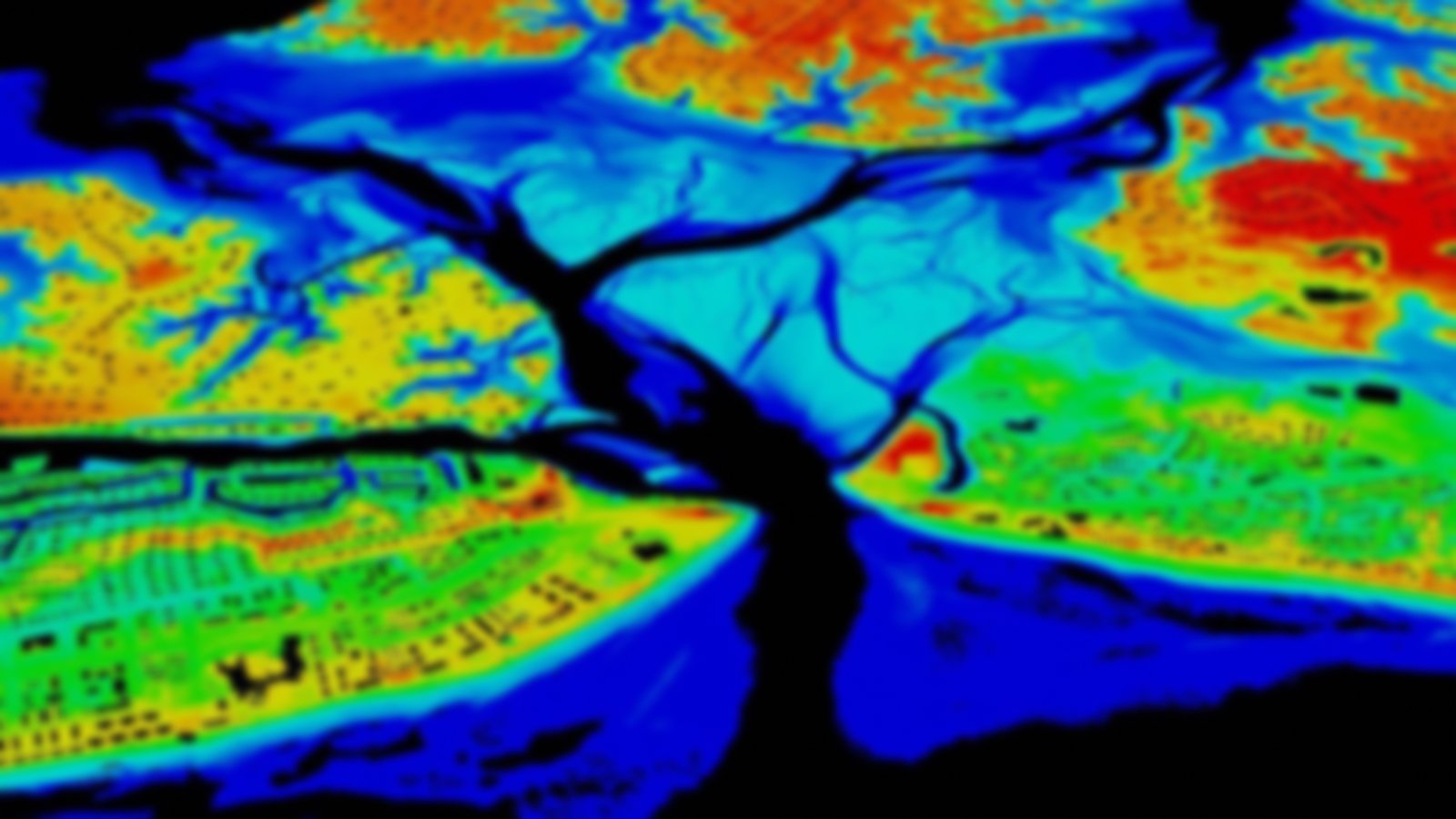
Collected through swath sonar (side-scan or multi-beam) surveying, these high-resolution data depict submerged topography and are delivered in the form of bathymetric elevation surface measurements or derived contours for specific depths. Some of these data were collected for NOAA navigational charting purposes, while others were collected to support environmental assessments.
Additional Information
Limitations and Notes
Although acoustic bathymetry is typically collected at high resolution and under high precision, users are encouraged to obtain bathymetry for navigational applications from NOAA’s Office of Coast Survey. In some cases, derived bathymetric products for larger regions are a synthesis of multiple surveys with varying resolutions. Users are encouraged to understand the source data and any subsequent processing as they apply these types of products.
