Important: Many OceanReports datasets are no longer being updated. For the most current ocean GIS data, visit the Marine Cadastre data catalog. Questions? Contact marinecadastre@noaa.gov.
Overview
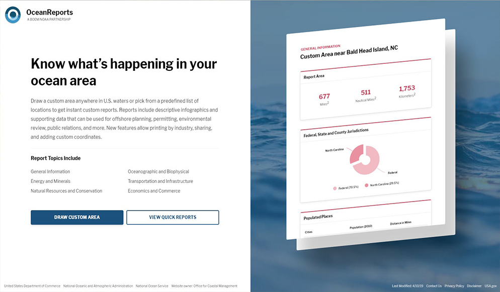
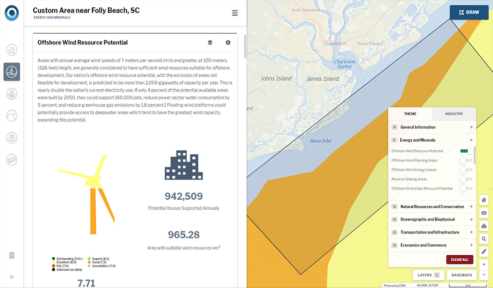
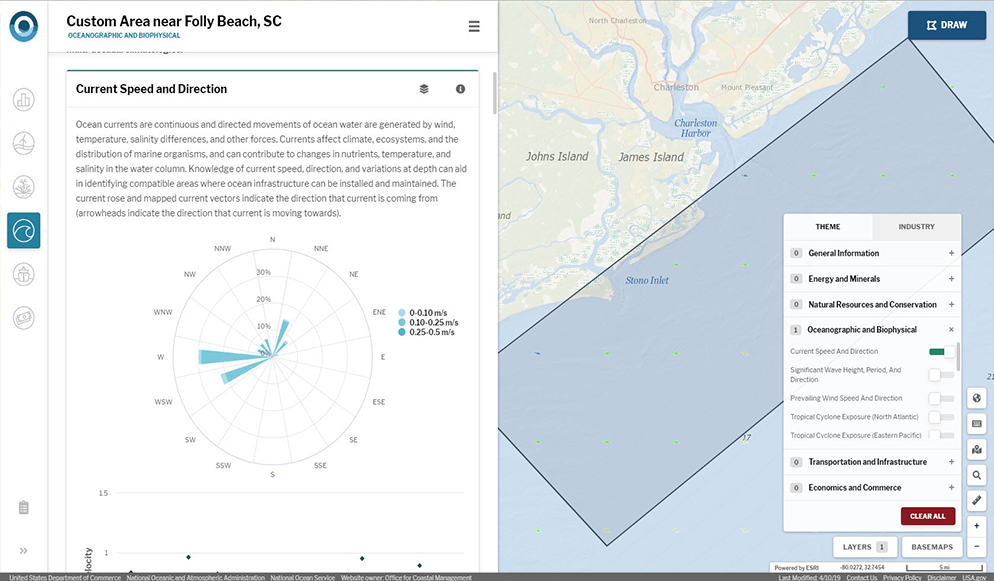
This web-based, report-centric tool provides coastal and ocean planners with a high-level analysis for their custom-drawn area of interest. It provides summary statistics and infographics for six main topics: general information, energy and minerals, natural resources and conservation, oceanographic and biophysical, transportation and infrastructure, and economics and commerce.
Features
- Use for quick reference and site characterization
- Gather high-level statistics and infographics on six themes
- Generate, print, and share reports for a custom area of interest
About the Tool (1 minute)
Additional Information
Support
Tool Screenshots