Overview
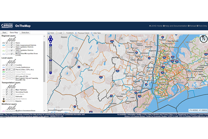
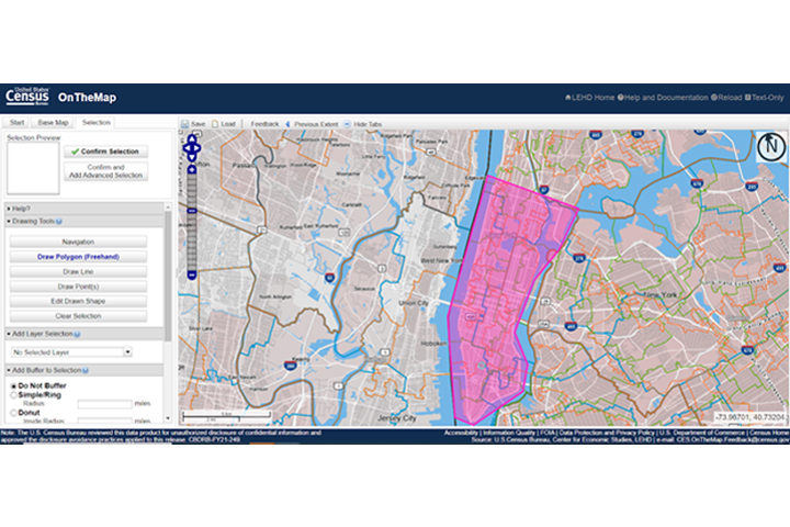
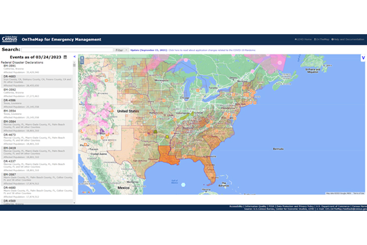
This web-based mapping and reporting application is used to illustrate where workers are employed and where they live. The application is paired with reports on age, earnings, industry distributions, race, ethnicity, educational attainment, and gender, while the tool itself features comprehensive block-level coverage for home and work areas, six powerful analysis tools, user-created outputs, and easy-to-use online documentation. OnTheMap for Emergency Management, an offshoot of this application, provides an intuitive interface for accessing U.S. population and workforce statistics, in real time, for areas affected by natural disasters.
Features
- Illustrate where people are employed and live
- Use analysis tools to compare and summarize Census data online
- Create output reports and map data with documentation
Additional Information
Data and Data Sources
Support
Tool Screenshots