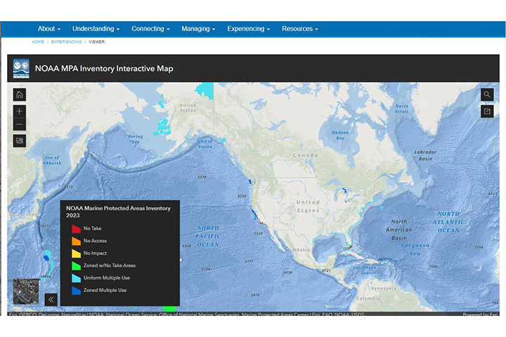
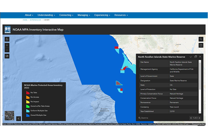
Overview
This online mapping tool displays boundaries and provides access to the marine protected area data inventory. Over 1,600 sites are covered, with data entries that include spatial boundaries, conservation-based classification data, and site management information.
Marine Protected Areas Inventory Homepage
Features
- Visualize patterns and characteristics of marine protected areas
- Filter the data in various ways to highlight specific attributes
Tool Screenshots