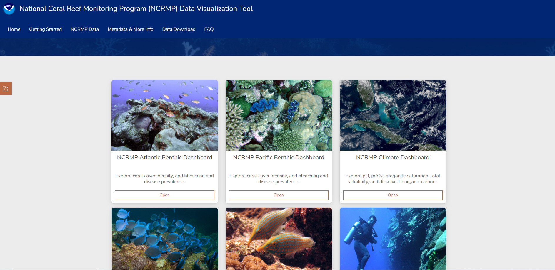
Overview
This GIS-based tool allows you to see where and when National Coral Reef Monitoring Program data were collected, visualize status and trends, and download summarized data in an easier way than ever before.
Features
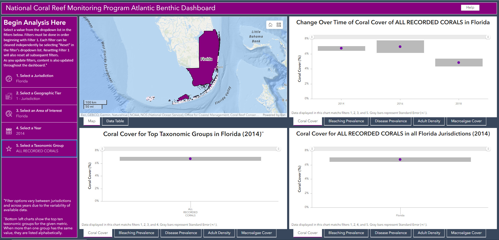
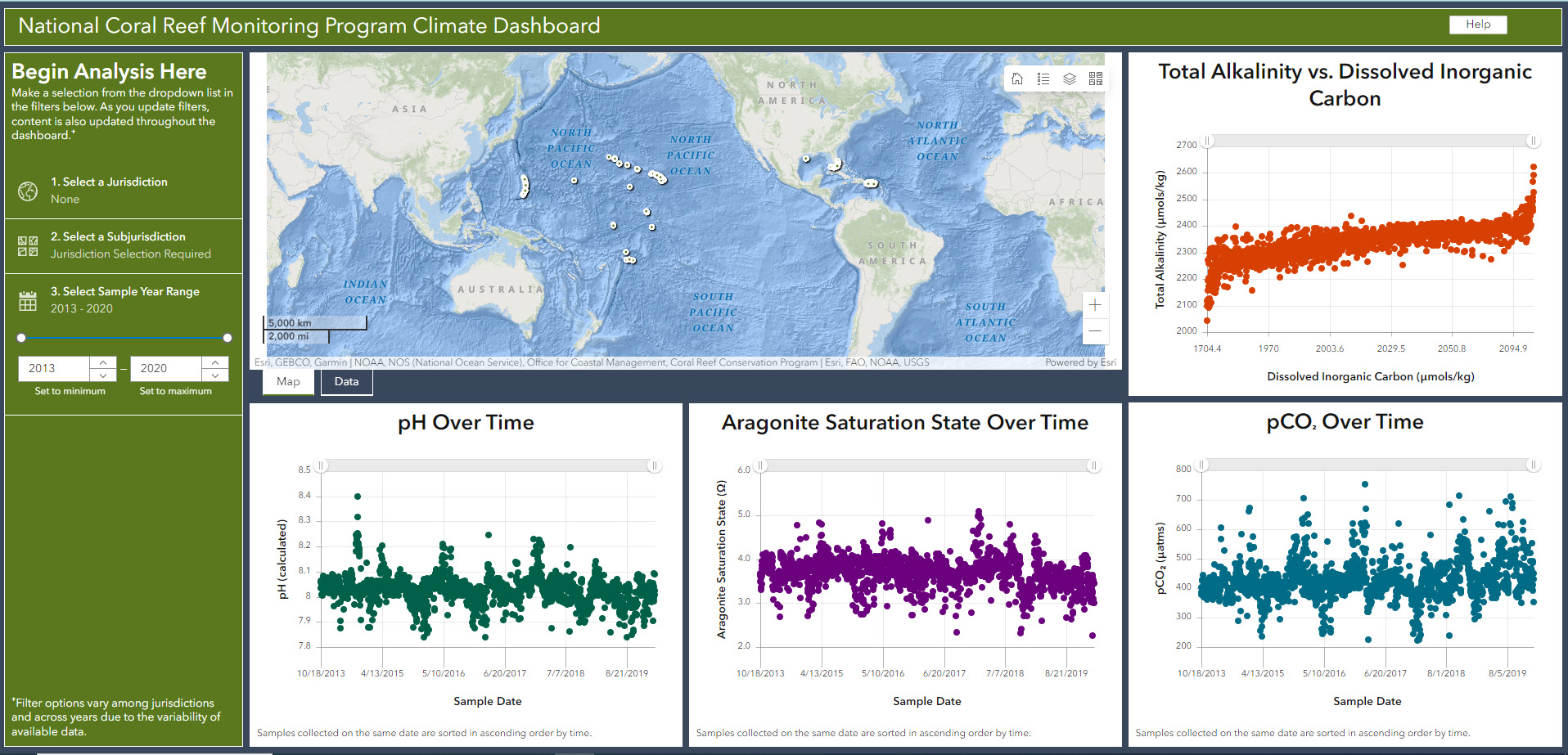
- See where and when coral, fish, climate, and socioeconomic data have been collected
- Visualize status and trends of coral reef data
- Download data for your predetermined spatial scales based on filters you select
Additional Information
Tool Screenshots