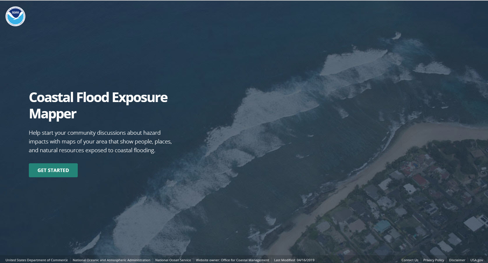
Overview
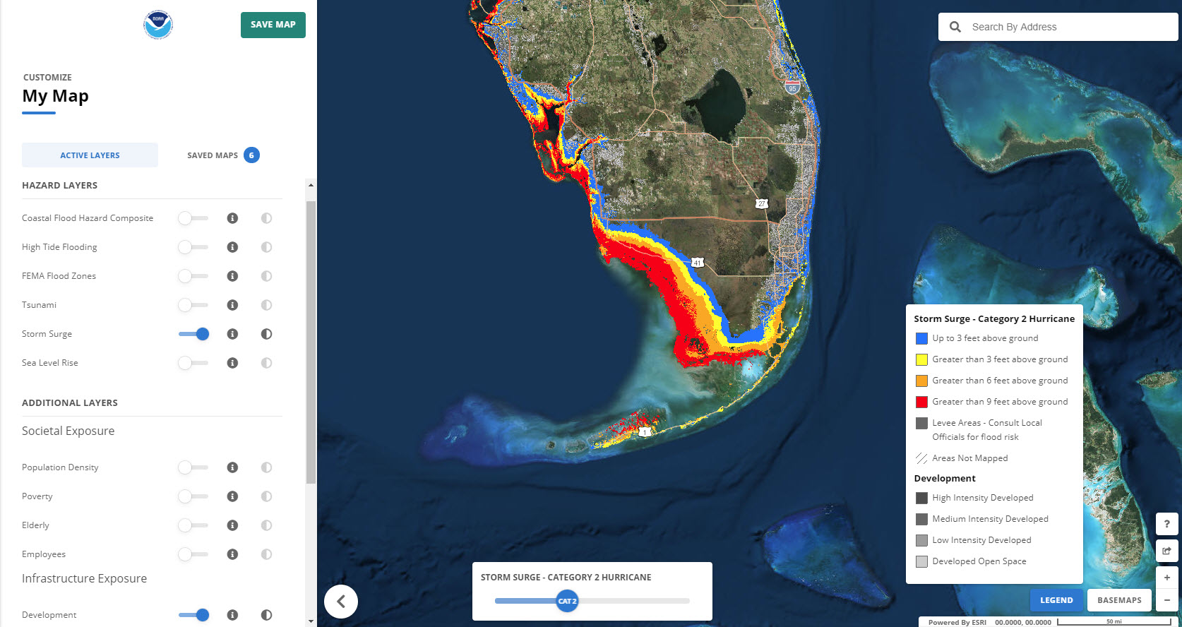
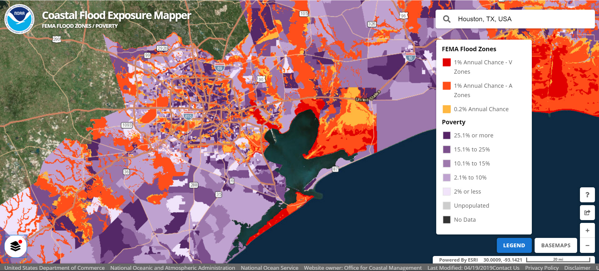
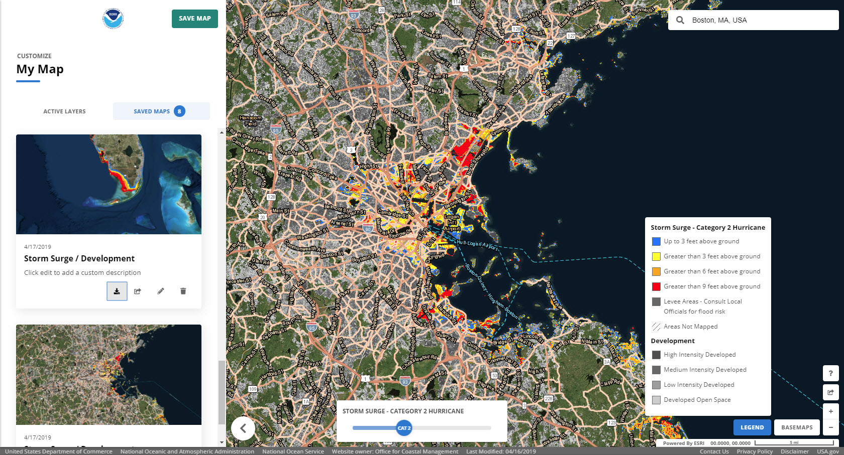
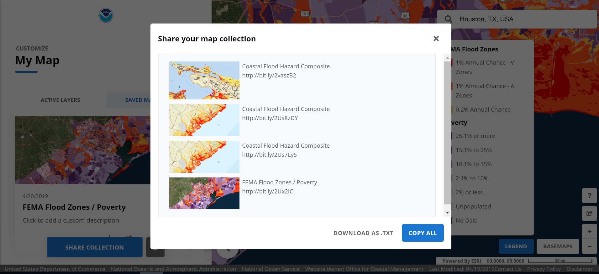
This online visualization tool supports communities that are assessing their coastal hazard risks and vulnerabilities. The tool creates a collection of user-defined maps that show the people, places, and natural resources exposed to coastal flooding. The maps can be saved, downloaded, or shared to communicate flood exposure and potential impacts. In addition, the tool provides guidance for using these maps to engage community members and stakeholders. The current geography includes the East Coast, West Coast, Gulf of America, Great Lakes, and islands in the Pacific and Caribbean.
Features
- Visualize people, places, and natural resources exposed to coastal flood hazards
- Share online maps to communicate with and engage stakeholders
Video Tutorial
Additional Information
Support
Tool Screenshots