Overview
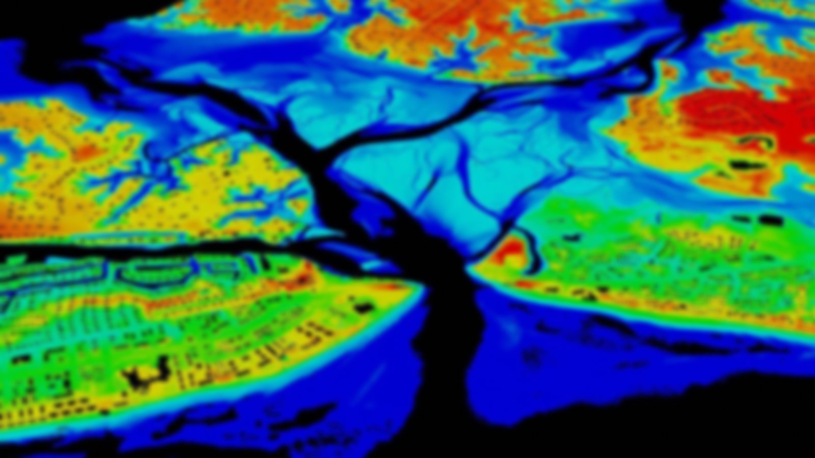
This digital database contains flood hazard mapping data from FEMA’s National Flood Insurance Program (NFIP)—the current effective flood risk data for parts of the country where maps have been modernized. It is a compilation of effective Flood Insurance Rate Map databases and Letters of Map Revision. The National Flood Hazard Layer is updated as new data reach their designated effective date and become valid for regulatory use under the NFIP.
The data provide users with the ability to determine the flood zone, base flood elevation, and floodway status for a particular geographic location. The National Flood Hazard Layer is for community officials and members looking to view effective regulatory flood hazard information in a GIS application.
