Overview
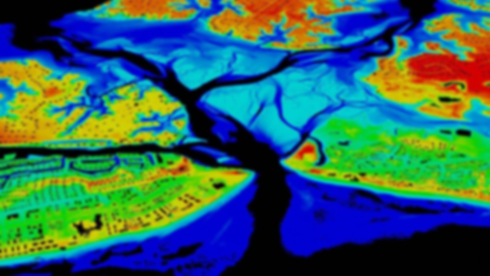
These data illustrate potential flooding associated with coastal flood advisories. The inundation layer depicts flooding above local flooding thresholds. All data are based on best-available elevation data and methods as defined by NOAA’s Office for Coastal Management. Data and maps provided can be used to gauge trends and prioritize responses.
Featured Resources
- Sea Level Rise Viewer — Visualize community-level impacts from coastal flooding or sea level rise
