Let's find a hurricane you're interested in.
LIVEFor live storm tracks, please visit the National Hurricane Center.

LIVEFor live storm tracks, please visit the National Hurricane Center.

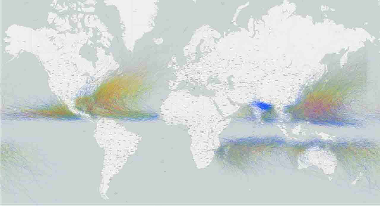
With over 13,000 storm tracks on record, it could be easy to get lost. Fortunately the tool’s search box lets you quickly search a specific location, storm, year, or ocean basin. It’s equally easy to save this information for future use and to share with others.
Having trouble finding a storm that you know should be there? Increasing the search distance can help.
For example, Hurricane Harvey (2017) caused catastrophic flooding and over 60 deaths in the Houston area, but this storm track didn’t come within 90 miles of the city. Since the default search range is 60 miles, search results for “Houston” won’t include Hurricane Harvey. Increasing the search distance to 115 miles will rectify this.
Clicking on a storm in the list or from the map will connect you to the details section. Here you will see the entire storm track and obtain data about the storm’s maximum wind speed and minimum pressure. You can also find links to a technical report and additional storm details when they are available.
To add a storm, navigate to a storm and click the icon.
 Streets
 Light
Light Dark
Dark Outdoors
 Satellite