Revolutionary Land Cover Data for Alaska
The Takeaway: This is the first time Alaska’s coastal zone has been mapped in this way. The NOAA-provided land cover data promises to be a game changer for those who want to protect this coast.
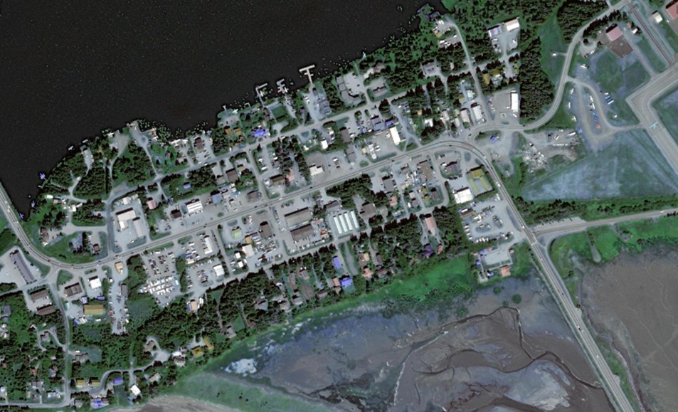
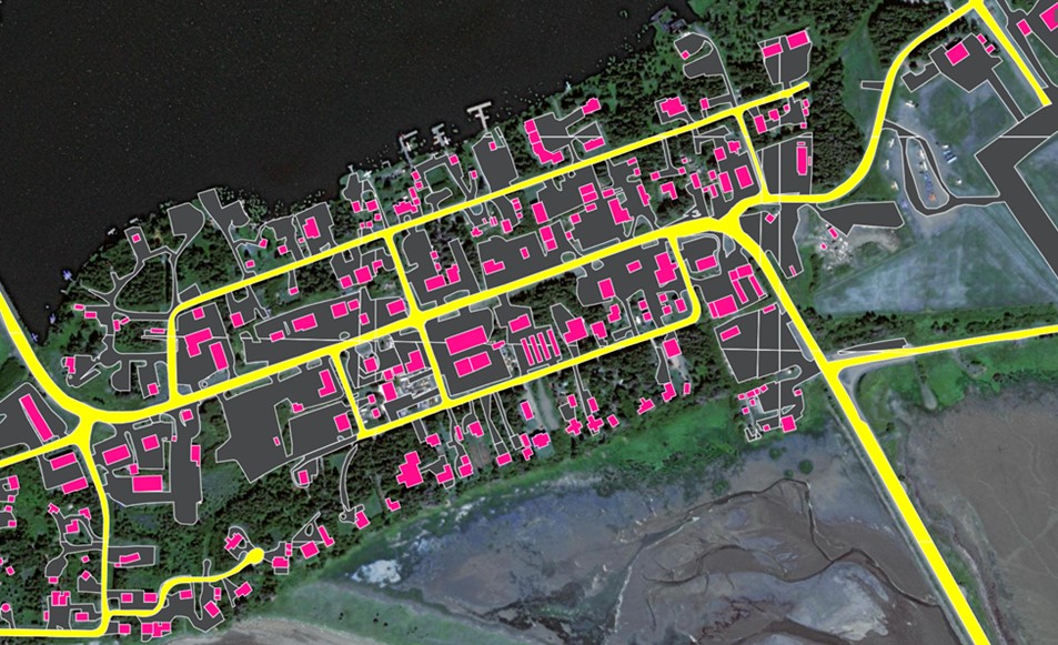
The effort to provide high-resolution land cover data for the nation’s coastal zone is particularly important for Alaska, as the state has never had widespread high-resolution land cover data available before. Phase one provides the foundational 1-meter data layers—impervious, canopy, and water. Phase two will provide the additional data layers, up to seventeen more, including wetland and road data layers.
Alaska has already used high-resolution land cover to map buildings and internet coverage. The information from this exercise is helping the state qualify for funds that will expand broadband access. There are many additional uses for this data, including wetland mapping, hydrodynamic modeling, flood risk assessments, stormwater management, and more.
“This high-resolution data is leveling the playing field for all coastal states,” says Nate Herold, land cover expert at NOAA’s Office for Coastal Management. “But nowhere are the benefits more obvious than in Alaska. We are very excited to be a part of this project.”
Land cover is an important baseline data set for coastal regions. Land cover maps are used to document the amount and location of various land cover types (wetlands, development, forests, etc.), and the data is often used as a foundational data set for predictive models (flood inundation, stormwater runoff, etc.). By comparing one year to another, land cover maps also document how land cover changes over time, including how the land is impacted by climate change, various land use practices, and restoration efforts.
For over 20 years, NOAA’s Office for Coastal Management has provided 30-meter resolution land cover for much of the nation’s coasts. But the program took a big leap forward with a new initiative focused on providing high-resolution data (1-meter resolution instead of 30-meter). The impact, particularly on a local level, is tremendous. Most communities previously found the acquisition cost of high-resolution data to be cost-prohibitive. Now this information will be available, free of charge, from NOAA’s Digital Coast. (2023)
Partners: NOAA Office for Coastal Management
PRINT