Overview
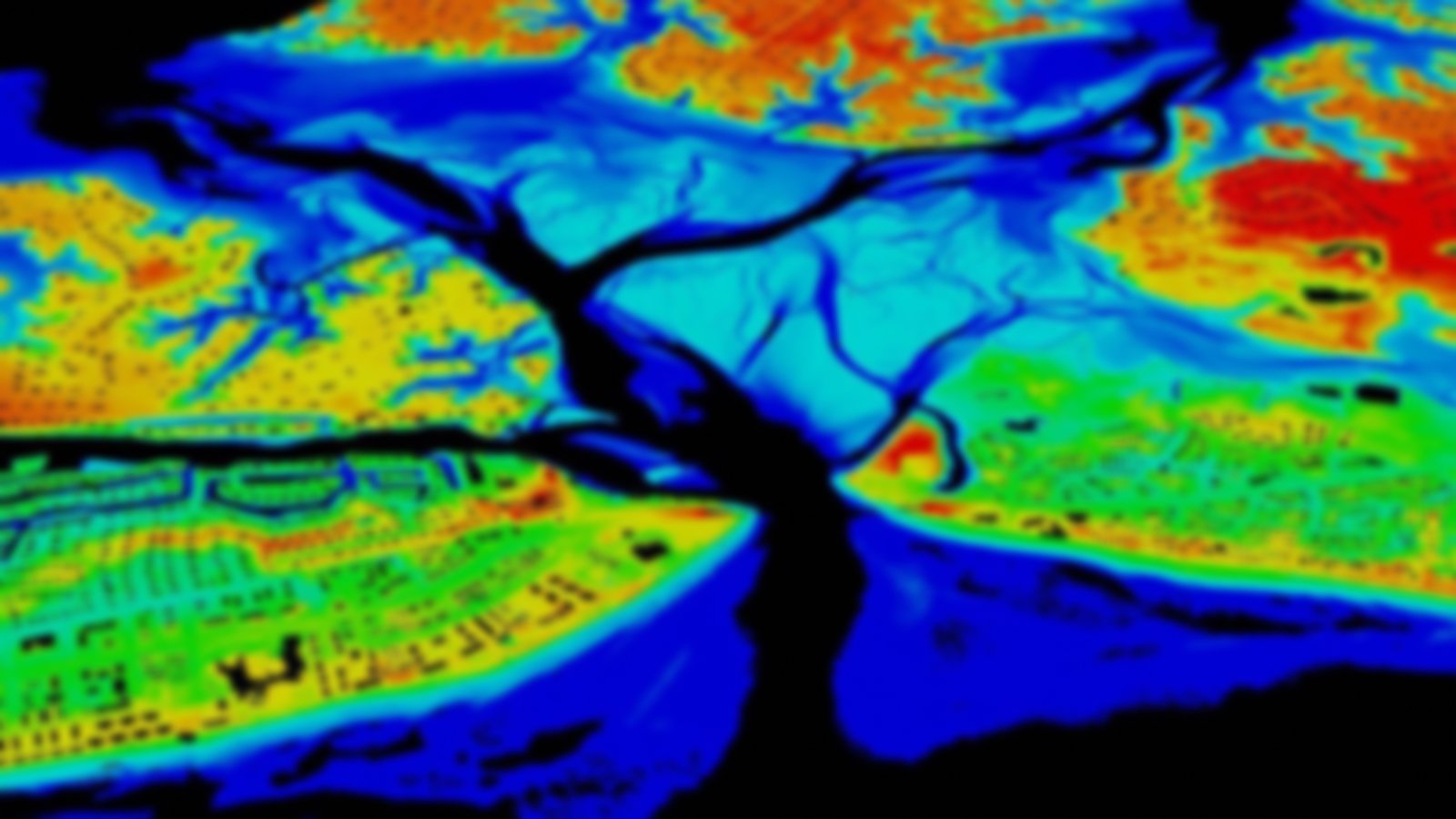
NOAA is phasing in the next generation of high-resolution land cover data for the nation’s coastal areas. The 1-meter products are useful at the local level in ways not previously possible with national-level data. Advanced artificial intelligence combined with expert human analysis, review, and editing are used to produce these high-quality, standardized, raster-based map products.
Initial data layers will focus on impervious, canopy, and water features. That data is then refined and expanded to include up to 20 land cover categories, including wetlands. Future data updates are envisioned to occur every four to six years.
Access additional land cover-related resources from the Digital Coast.
