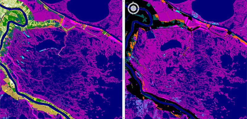
Challenge
The National Wetlands Inventory maps the entire country’s wetlands and provides important information to countless private and government agencies, helping them to make critical decisions. It’s the largest database of its kind. However, due to the time and expense involved in maintaining it, some of the data are decades old.
Solution
Using New Orleans, Louisiana, as a pilot site, researchers used high-resolution land cover data from the Digital Coast to develop techniques that make updating the National Wetlands Inventory faster and cheaper than previous methods. This means higher quality information is in the hands of decision-makers, and helps reduce duplicative efforts while ensuring consistency.
To learn more, read the full study.