Overview
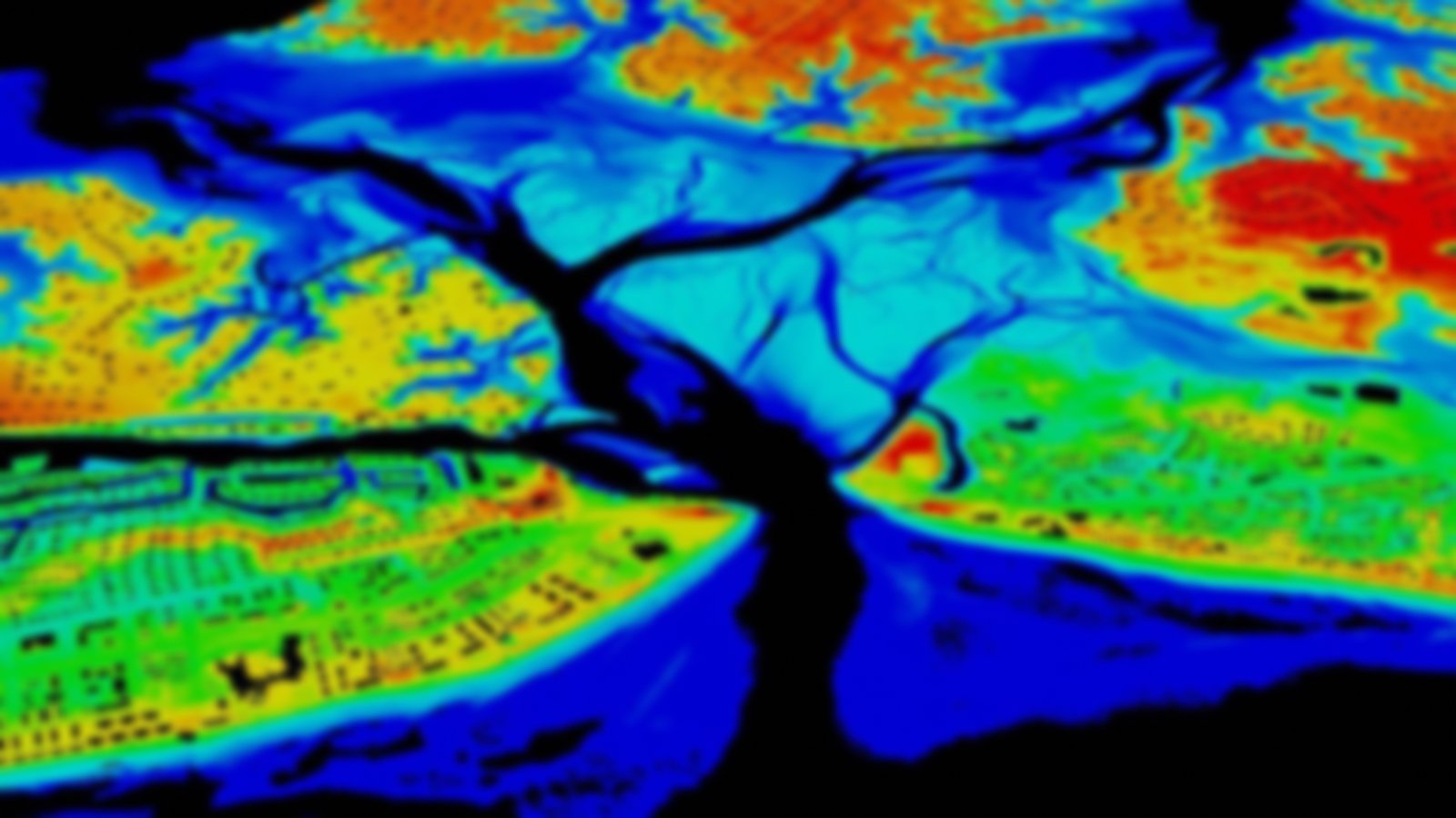
These raster-based land cover products are developed through entirely automated methods. Initial mapping was conducted at 1-meter resolution using aerial imagery, lidar elevation, and ancillary information. The result was a six-category land cover that was resampled to 10 meters and combined with wetland information from the National Wetland Inventory (NWI) to produce this BETA-level product, with up to 15 categories of land cover. Three file types are available: a 10-meter resolution land cover, a 30-meter percent man-made impervious layer, and a 30-meter percent canopy layer.
While produced as part of the Coastal Change Analysis Program (C-CAP), these products should not be compared directly to past dates of 30-meter C-CAP to identify change, as there will be vast differences caused by the different methods and the classes mapped.
Looking for more detailed mapping?
Now available: High resolution (1-meter) land cover data for the coastal U.S.
