Issue
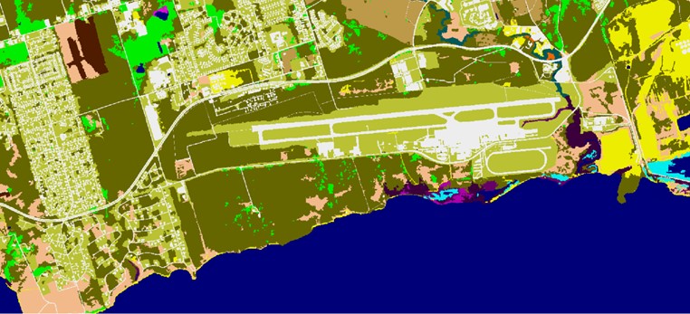
Effective disaster preparedness and response depends on accurate storm surge modeling. The National Weather Service’s predictive storm surge tool, the Sea, Lake, and Overland Surges from Hurricanes (SLOSH) model, relies on land cover data. The resolution of the land cover data can significantly affect modeling accuracy, especially for small, storm-prone islands like those in the Caribbean.
Process
Puerto Rico and the U.S. Virgin Islands have seen remarkable improvements in modeling accuracy through a new NOAA initiative that is providing high-resolution land cover data for the nation's coastal zone. The 1-meter C-CAP land cover data used here has made these SLOSH models more precise. Expanding the availability of high-resolution land cover data in storm-prone regions is contributing significantly to better preparedness measures.
Impact
Investing in improved data collection and analysis strengthens the nation’s ability to understand and respond to the complexities of storm events. By prioritizing high-resolution land cover data, NOAA is providing the tools communities need to ensure safety and resilience. (2023)