Largest-Ever West Coast Oyster Data Map
The Takeaway: The findings could spark restoration efforts that are much more strategic and effective, thanks to project leaders and partners that include California’s Elkhorn Slough Research Reserve.
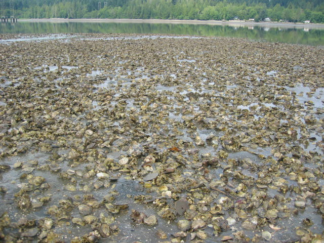
Photo credit: Brady Blake
An interactive map made possible by NOAA technical experts is boosting the odds for successful restoration of the dwindling native Olympia oyster along much of the North American West Coast. The map draws on 2,000-plus records for this species and the non-native Pacific oyster, and by doing so, illustrates where healthy oyster networks are located, and where targeted restoration efforts could yield big benefits.
The data-collection project was led by a duo of scientists—one from The Pew Charitable Trusts and one from the Native Olympia Oyster Collaborative who works for California’s Elkhorn Slough National Estuarine Research Reserve. This research reserve and three others—South Slough in Oregon, Padilla Bay in Washington, and Tijuana River in California—contributed project data. The NOAA Office for Coastal Management provided technical mapping assistance.
The interactive map features both crowdsourced information and records that span the 1600s to the present. A paper in the journal PLOS ONE describes the researchers’ methods and findings.
Oyster reefs are the superstars of a resilient coastal ecology, because they feed creatures and nurture marsh growth while filtering runoff and lessening erosion. These functions are increasingly vital for the world’s coastal ecosystems, which are jeopardized by climate change.
Oyster information at any scale
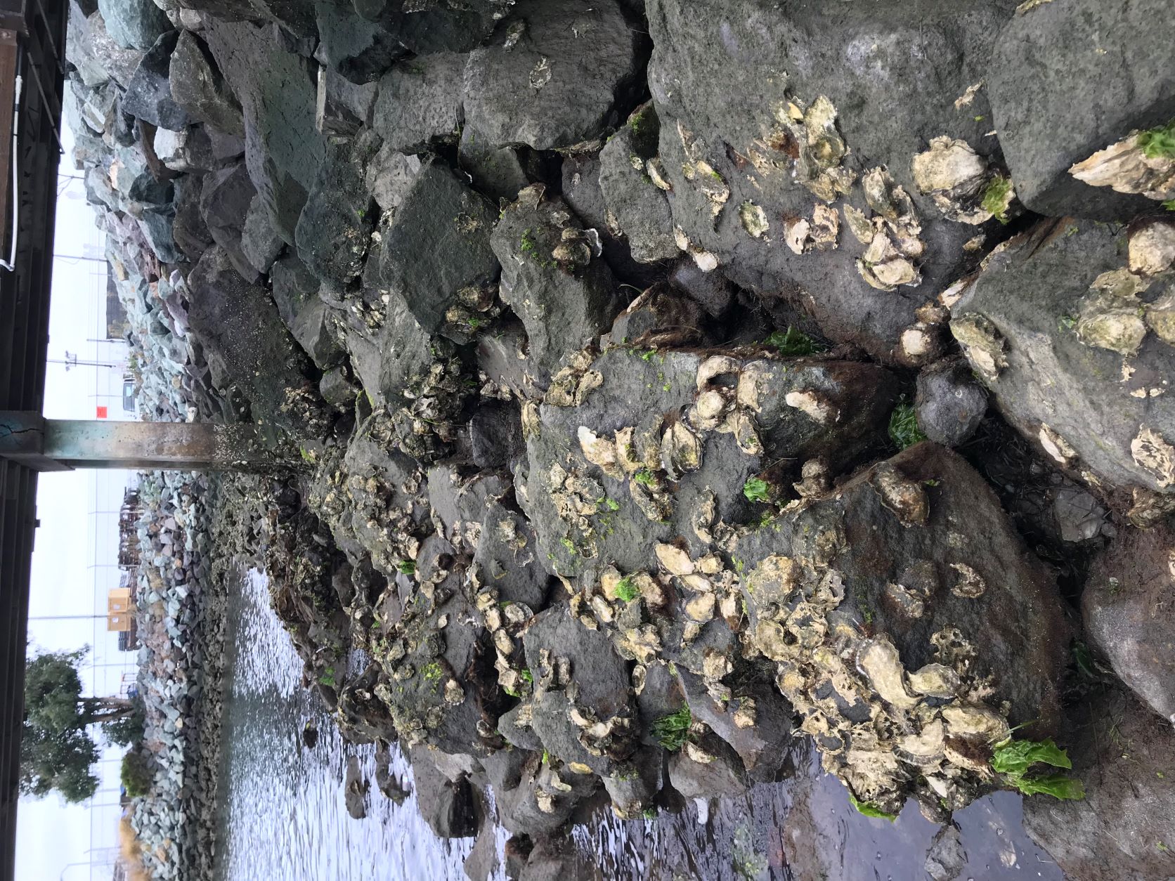
Photo credit: Bryce Perog
Resource managers can view the map’s adult oyster locations or oyster larvae networks to make ecosystem-related decisions. Community viewers can zoom in on precise estuary areas to plan where local restoration is most needed. Agencies working across large regions can zoom out, viewing several types of data, to choose which areas are the best bets for strategic restoration investments.
The team mapped which locations were close enough to be linked by oyster larvae dispersal, a significant contributor to larger, hardier oyster networks that are self-sustaining. In the areas where oyster networks are small, targeted restoration efforts could increase both their size and interconnectedness.
The four West Coast research reserves helped establish the Native Olympia Oyster Collaborative. NOAA’s Science Collaborative, which is jointly administered by NOAA and the University of Michigan, provided initial funding for the oyster collaborative. (2022)
Partners: Elkhorn Slough National Estuarine Research Reserve, Native Olympia Oyster Collaborative, NOAA Science Collaborative, The Pew Charitable Trusts