Overview
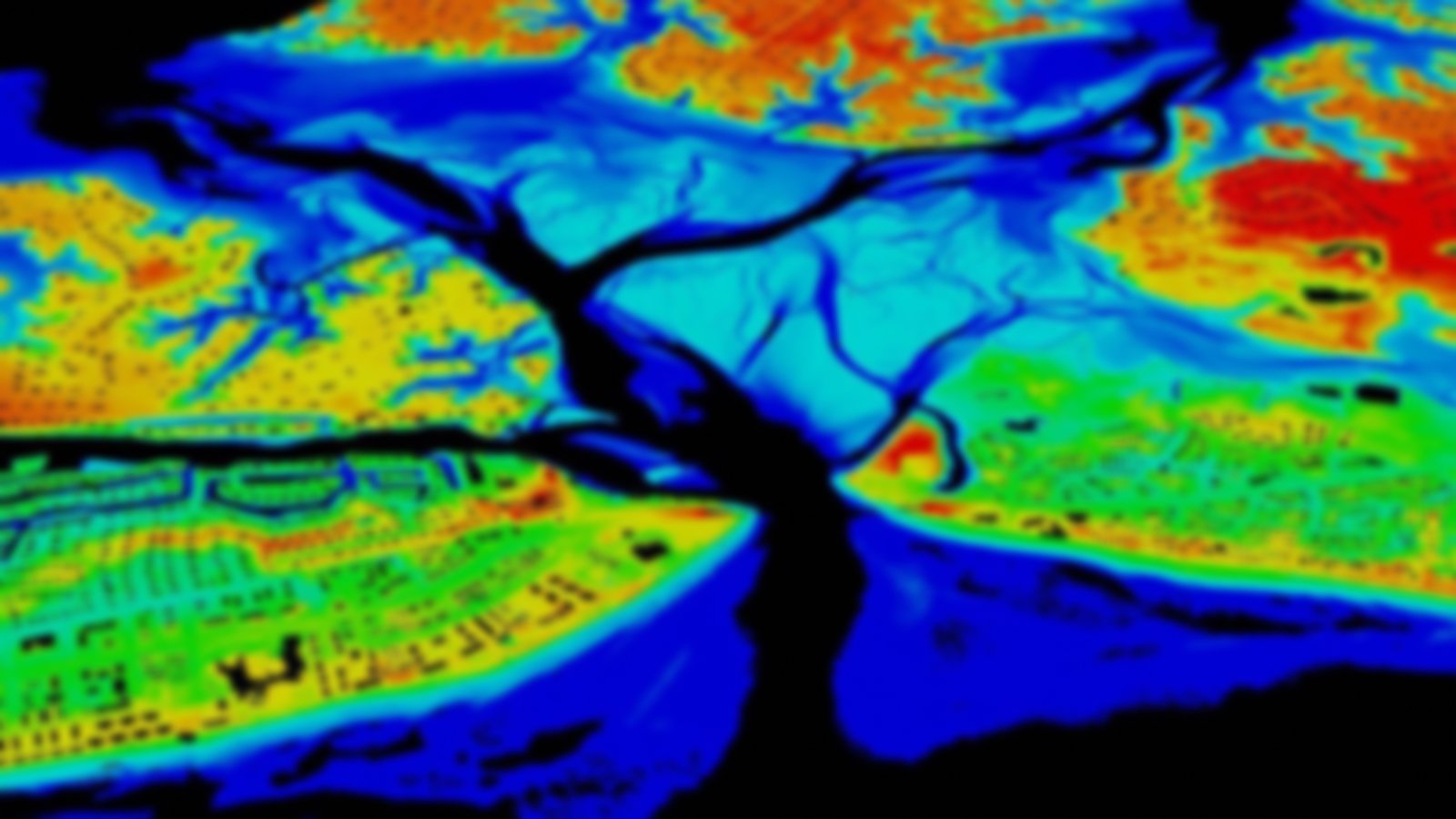
This collection of data contains topographic data stored in raster format at the NOAA Office for Coastal Management. The data may be derived from Interferometric Synthetic Aperture Radar (IfSAR), imagery, acoustics, or multiple elevation sources. The elevations derived from IfSAR and associated ortho-rectified radar images are both available. Some licensed data are included and are available by request to users covered under the license agreement, who are usually entities engaged primarily in coastal management. Please see the license link on individual licensed data sets.
Featured Resources
- GeoZone Blog — Posts about elevation data.
