Overview
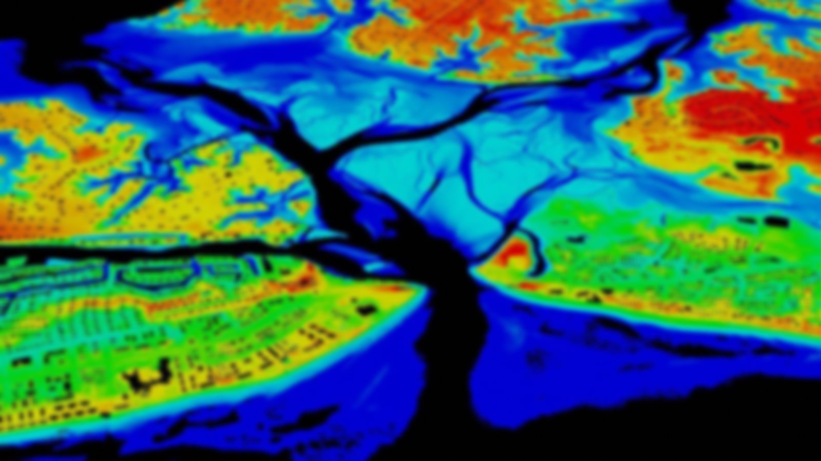
This comprehensive set of digital spatial data represents the surface water of the United States using common features such as lakes, ponds, streams, rivers, canals, stream gages, and dams.
In addition to surface-water features, a companion watershed boundary data set is provided to define the perimeter of drainage areas formed by the terrain and other landscape characteristics.
Visit the USGS hydrography homepage to learn more.
