
Issue
Many coastal area educators face the challenge of effectively teaching about climate change impacts, such as increases in storm damage, sea level rise, habitat loss, and saltwater intrusion. Teachers in four Virginia counties along Chesapeake Bay requested help in identifying the most beneficial data, tools, and resources for educating local students about climate change.
Process
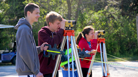
Climate Education for a Changing Bay, a program offered through the Chesapeake Bay National Estuarine Research Reserve-Virginia, brings the classroom out into the field while providing teacher professional development. During the pilot year of field experiences, students were divided into one of three groups—emergency response, land planning, and commercial fisheries—each interpreting a real-world scenario involving the effects of climate change. The students used two Digital Coast tools. With the Sea Level Rise Viewer, they assessed how different rates of sea level rise are likely to affect their counties, and with the Coastal County Snapshots tool, they looked at how wetlands contribute to their communities. These tools provided a process for the students to reflect upon the human impacts of climate change as a culmination of the entire year’s program.
Impact
To date, this watershed education project has reached 800 Virginia ninth graders in four counties and boosted teacher literacy. Teachers are now more aware of age-appropriate materials and ways to use visualizations and datasets with their students. The reserve’s staff members have also incorporated Digital Coast tools into teacher training in a continued effort to empower educators with the knowledge and confidence to teach about climate change and the specific impacts to Chesapeake Bay.
Additional Information
- Local 9th Graders Serve as Pilot Group for New Program at VIMS
- New VIMS Program Teaches About Climate Change through Field Experience