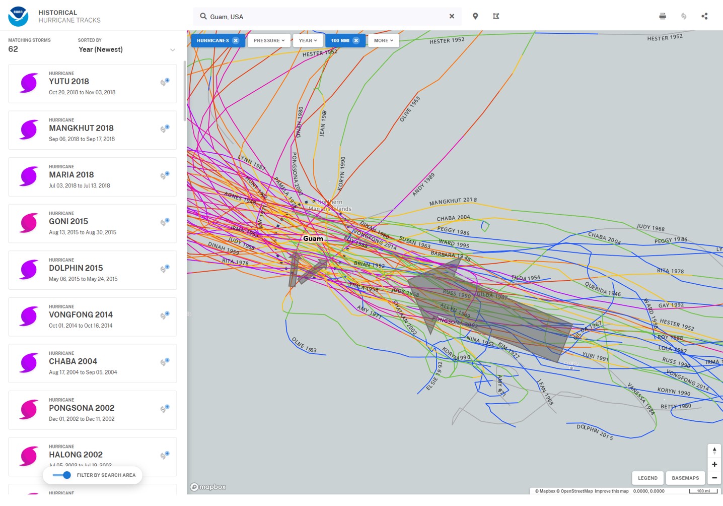
Challenge
The U.S. territorial island of Guam is highly susceptible to tropical cyclones. Determining the directions and intensities of past storms can be challenging, but is the best way to predict potential storm surge impacts and help the island’s community prepare.
Solution
Storm modelers used the Historical Hurricane Tracks tool on the Digital Coast to search the historical record for Guam, determining both the typical direction and intensity of storms and the outliers. This provided modelers with the information needed to develop the most inclusive and accurate storm surge models, thereby ensuring Guam’s businesses and residents could rely on the best data when considering future development and community planning.