Issue
Civilian and military population growth in the Southeast U.S. is causing the loss of natural resources and encroachment on the region’s busy military installations. To preserve the functions of local military bases and protect vital ecosystems, while promoting sustainable economic growth, it is important to understand population and land use trends and the best methods to forecast them.
Process
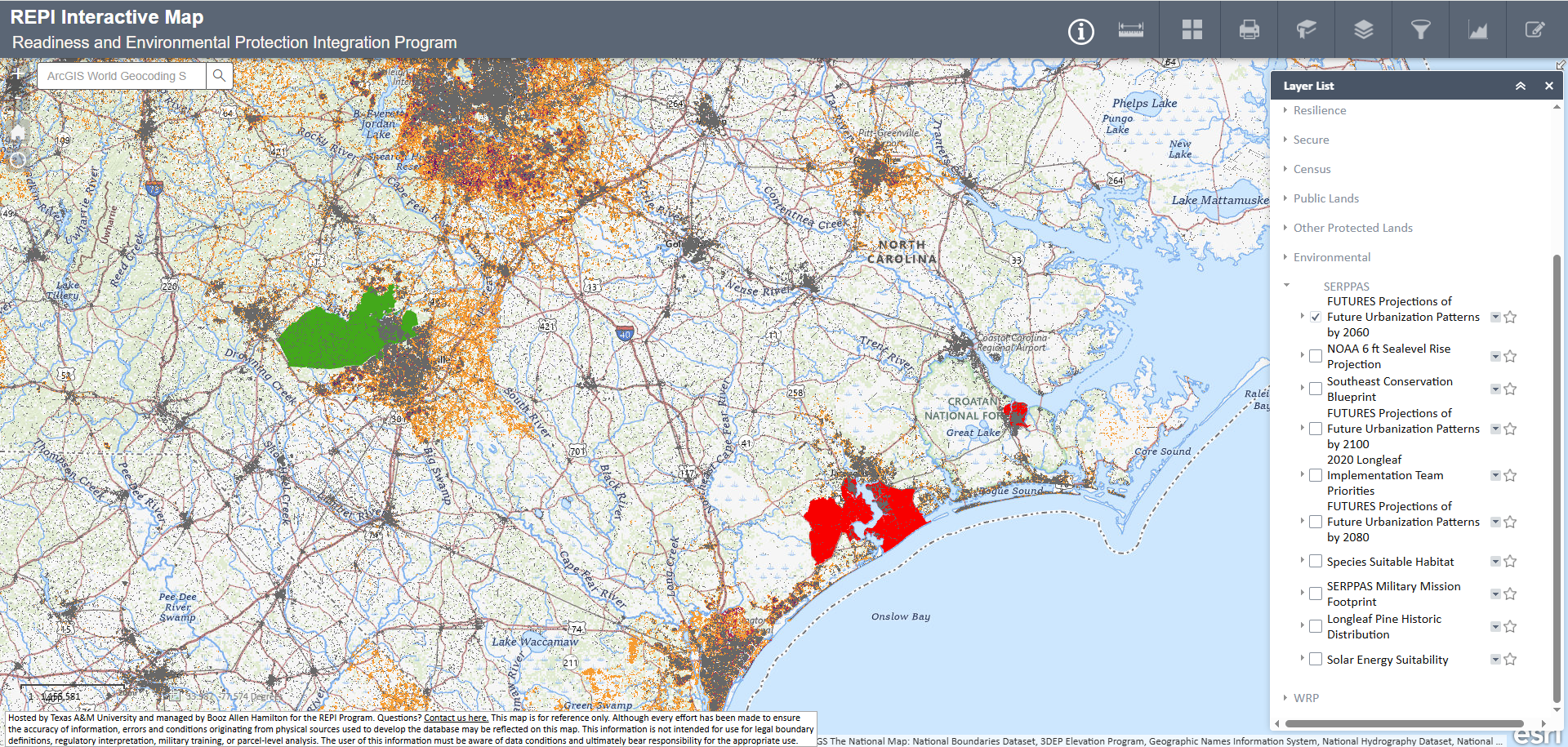
The Southeast Regional Partnership for Planning and Sustainability (SERPPAS) was formed in 2005 by the Department of Defense and state and federal agencies to promote better collaboration in making resource-use decisions. In support of the partnership, the U.S. Geological Survey (USGS) conducted a study to evaluate historical population growth and model potential future growth and land cover change for the 13-county SERPPAS focus area in eastern North Carolina. Census-block resolution data were used to analyze past population data and estimate future population trends. Multiple land cover datasets, including 1992, 1996, 2001, and 2006 USGS National Land Cover Database and NOAA Coastal Change Analysis Program data, along with elevation and transportation data and land suitability maps, were used in predictive urban growth models to simulate where this population growth is likely to occur.
Impact
The USGS study provides a framework for the future development of parcel-based ranking and evaluation systems for local and regional governments and other key stakeholders to identify easement purchases and other compatible-use opportunities that promote economic development around military installations and within ranges and military airspace. The results of this study also provide the foundation for continued efforts by SERPPAS, SERPPAS partners, and local government agencies to further refine growth-forecast methods and develop improved approaches for sustainable growth and resource management.