
Issue
Tribal partners and organizations across the Lake Superior basin set out to better understand wild rice (manoomin), including where restoration of wild rice should occur and how best to monitor its changes. Wild rice is an important part of the Great Lakes landscape, both ecologically and culturally.
Process
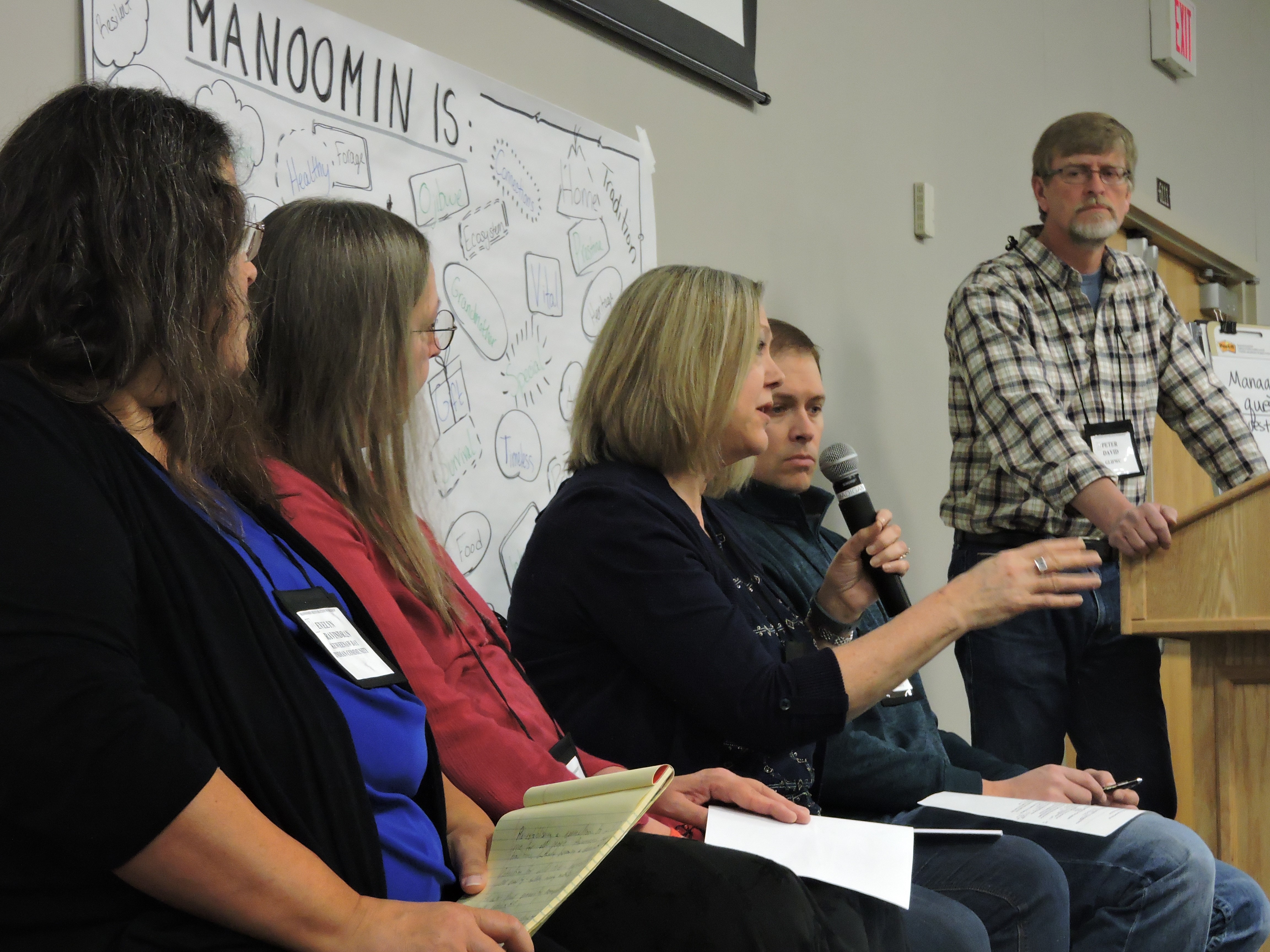
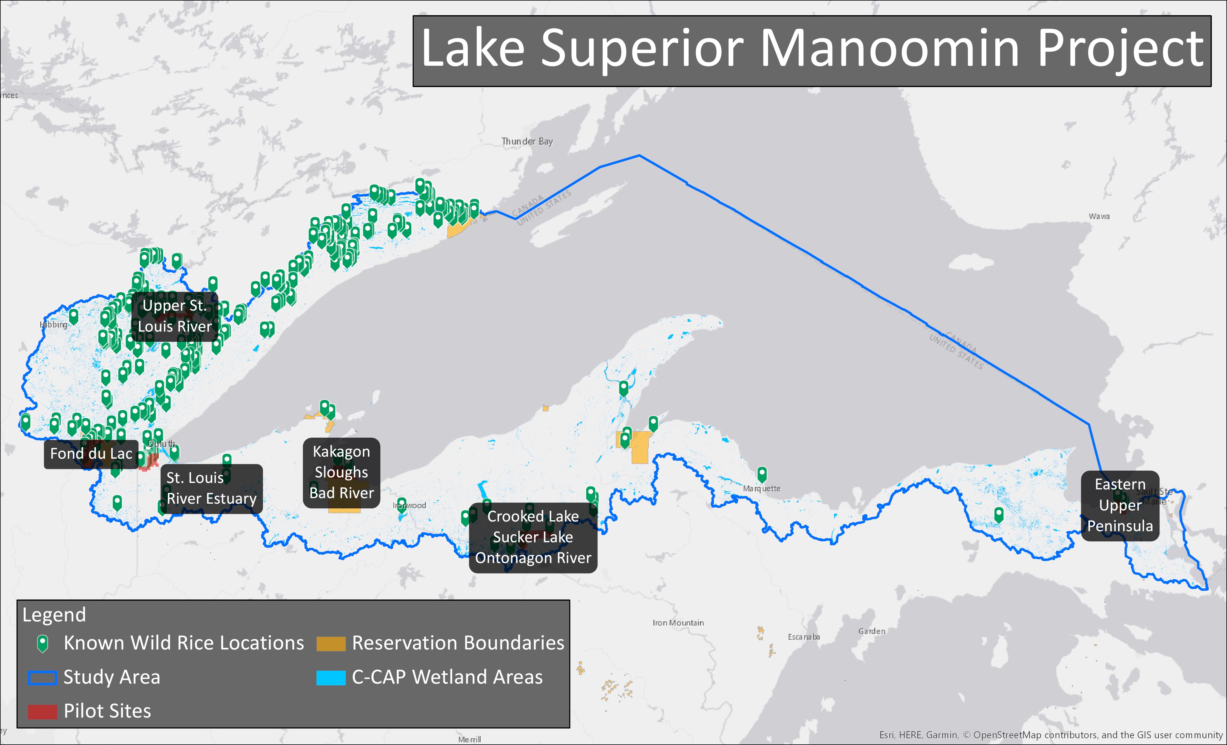
The first step was to convene a workshop that involved Lake Superior tribal communities, tribal agencies, and federal, state, and local partners to identify the issues surrounding wild rice restoration and monitoring efforts. Listening and documenting needs helped the group understand what changes were occurring to the environment, the stressors and impacts on wild rice, and likely areas to start project work. Learning what has worked in the past and what gaps remained helped determine the best approach for moving forward. During the workshop a participatory mapping exercise was completed to help with evaluating past and current environmental conditions and stressors. Combining this information with NOAA Coastal Change Analysis Program (C-CAP) land cover data and known wild rice site locations helped pinpoint where to focus future data collection and monitoring efforts.
Impact
Utilizing the information collected during the workshop and feedback from partners, the following initiatives were formed to help with restoration and monitoring efforts:
- Provide funding to tribal communities and tribal agencies to begin work focused on the science of wild rice restoration and improving resilience. Use additional funding to assist with wild rice seed procurement.
- Form a manoomin geospatial team to help identify data products available to help with mapping and monitoring of wild rice. Plan for future remote sensing data collection to aid in identifying wild rice on the landscape.
- Perform an ecosystem and cultural valuation to document and characterize the perspectives, cultural identity, and value system of the Anishinaabe people with respect to manoomin. Also, analyze and value (quantitative approach desired) the unique ecological values and functions of manoomin waters.
- Increase education and outreach to improve awareness about wild rice and provide guidance on how to protect and harvest it. Through the use of educational displays, wild rice camps, and an online wild rice database, make the public aware of this natural and culturally significant resource.
- Continue annual workshop series to allow for the exchange of information and look to expand the work outside of the Lake Superior basin and across the Great Lakes.
Contributors
- 1854 Treaty Authority
- Bad River Band of Lake Superior Chippewa
- Bay Mills Indian Community
- U.S. Environmental Protection Agency
- Fond du Lac Band of Lake Superior Chippewa
- Great Lakes Indian Fish and Wildlife Commission
- Grand Portage Band of Lake Superior Chippewa
- Keweenaw Bay Indian Community
- Lac Courte Oreilles Band of Lake Superior Chippewa
- Lac du Flambeau Band of Lake Superior Chippewa
- Lac Vieux Desert Band of Lake Superior Chippewa
- Minnesota Lake Superior Coastal Program
- Lake Superior National Estuarine Research Reserve
- Michigan Department of Environmental Quality
- Michigan Department of Natural Resources
- Michigan Department of Transportation
- NOAA Office for Coastal Management
- Red Cliff Band of Lake Superior Chippewa
- Sault Ste. Marie Tribe of Chippewa
- St. Croix Chippewa Indians of Wisconsin
- U.S. Bureau of Indian Affairs
- U.S. Fish and Wildlife Service
- U.S. Geological Survey
- Wisconsin Coastal Management Program
- Wisconsin Department of Natural Resources